[TALK:] The Oldest Known Map of Castle Cary and Ansford
Prof. Will Vaughan will give a talk about the oldest known map of Castle Cary and Ansford, on Saturday 3rd September at 6.30pm in Caryford Hall, Maggs Lane, Castle Cary, BA7 7JJ.
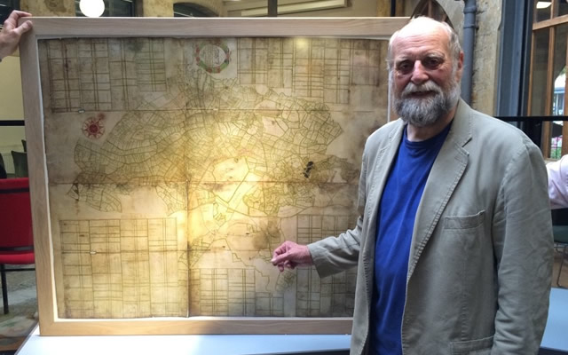
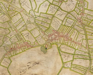
This unique map dates from 1682-4, it is on vellum and is very large - nearly 4ft x 4ft. It is preserved in the British Library in London, however a life-size facsimile has recently been donated to Castle Cary Museum.
Will’s talk will be similar to the one he gave on 10th June – which was oversubscribed.
There will be a pay-bar, raffle, postcards, leaflets and a chance to order a high quality print of part of the town - or one of the whole thing if you have a wall big enough and pockets deep enough!
Tickets are now on sale in Castle Cary in Bailey Hill Bookshop and the Museum at £7 each. You can also get them on the door for £8.


Comments
Login to comment!